Shira Route 6 Days
Success Rate 95% - 98%
Shira Route
98%
About the route
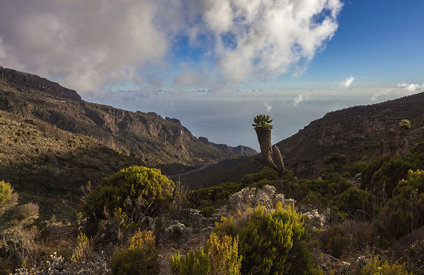
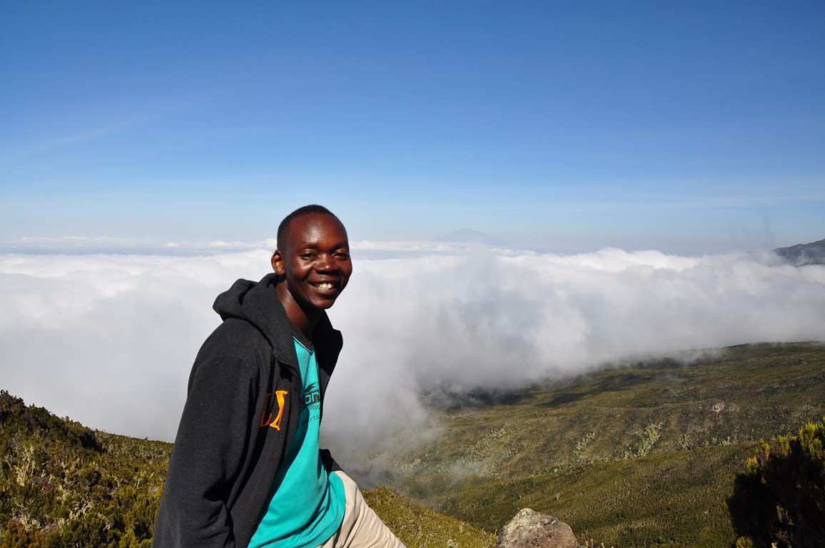
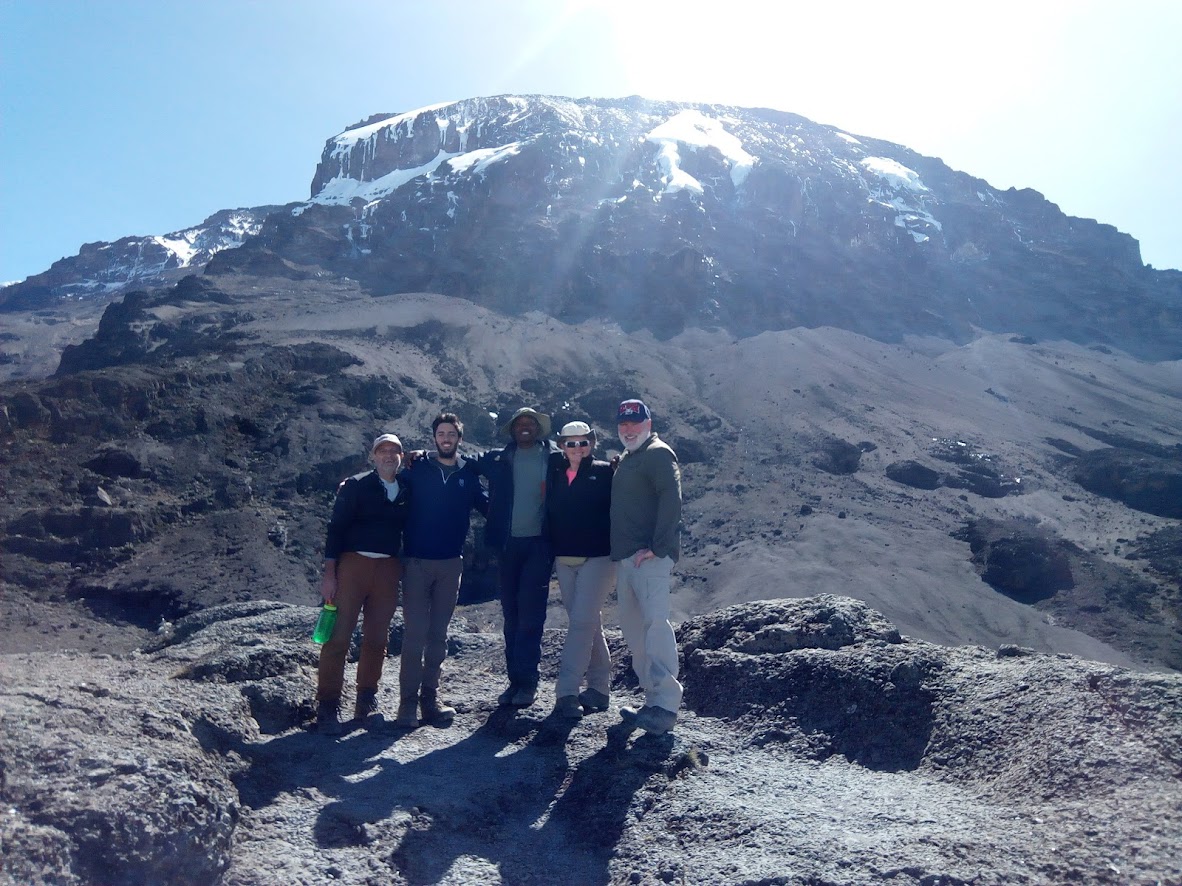
The Shira Route is one of the less-used but highly scenic routes on Mount Kilimanjaro, starting at Shira Gate (3,600m) on the western side. It quickly ascends to the Shira Plateau, offering expansive views before merging with the Lemosho Route at Shira Camp 2. Trekkers gradually acclimatize as they pass Lava Tower (4,600m), descend to Barranco Camp, and tackle the Barranco Wall. The journey continues through Karanga Camp to Barafu Camp (4,673m), the launching point for the final summit push to Uhuru Peak (5,895m) via Stella Point. The descent follows the Mweka Route. Due to its high starting altitude, this route is best for experienced trekkers or those already acclimatized, offering breathtaking scenery and a quieter trail experience.
Route summary
- Day 1: Shira Gate, Hike to Shira 2 Camp
- Day 2: Hike Shira 2 Camp to Lava Tower to Barranco Camp
- Day 3: Hike Barranco Camp to Karanga Camp
- Day 4: Hike Karanga Camp to Barafu Camp
- Day 5: Hike Barafu Camp to Summit, down to Mweka Camp
- Day 6: Hike Mweka Camp to Mweka Gate, drive to Moshi
Day 1: Drive to Kilimanjaro National Park Shira Gate, Hike to Shira 2 Camp
- Elevation: 1830m/6000ft to 3850m/12,600ft
- Distance: 8km/5mi
- Hiking Time: 4-5 hours
- Habitat: Montane Forest
The drive from your hotel in Moshi or Arusha to the trailhead takes about 3 hours. We hike through the rain forest on a winding trail up a ridge. At lower elevations the trail can be muddy and slippery. Gaiters and trekking poles are a good idea here. We continue a short distance until we reach the Shira Camp. An overnight at Shira 2 Camp.
Day 2: Hike Shira 2 Camp to Lava Tower to Barranco Camp
- Elevation: 3850m/12,600ft to 4000m/13,000ft
- Distance: 10km/6mi
- Walking Time: 5-6 hours
- Habitat: Semi-desert
From the Shira Plateau we continue to the east up a ridge, passing the junction towards the peak of Kibo. As we continue, our direction changes to the South East towards the Lava Tower, called the “Shark’s Tooth” (elev 4650m/15,250ft). Shortly after the tower we come to the second junction which goes to the Arrow Glacier. We now continue down to the Barranco Camp. Although you end the day around the same elevation as when you began, this day is very important for acclimatization and will help your body prepare for summit day. An overnight at Barranco Camp.
Day 3: Hike Barranco Camp to Karanga Camp
- Elevation: 4000m/13,000ft to 4050m/13,250ft
- Distance: 5km/3mi
- Hiking Time: 34 hours
- Habitat: Alpine Desert
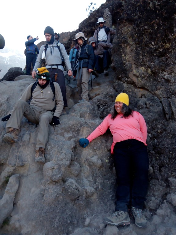
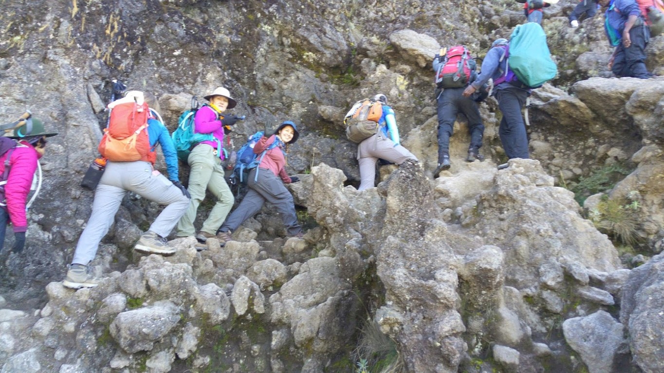
After breakfast, we leave Barranco and continue on a steep ridge up the Barranco Wall to the Karanga Valley and the junction which connects with the Mweka Trail. An overnight at Karanga Camp.
Day 4: Hike Karanga Camp to Barafu Camp
- Elevation: 4050m/13,250ft to 4700m/15,350ft
- Distance: 4km/2mi
- Hiking Time: 3-4 hours
- Habitat: Alpine Desert
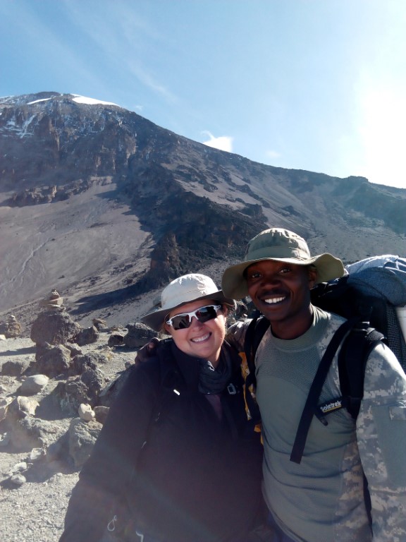
We continue up to the Barafu Camp. You have completed the South Circuit, which offers views of the summit from many different angles. Here we make camp, rest, enjoy dinner, and prepare for the summit day. An overnight at Barafu Camp.
Day 5: Hike Barafu Camp to Summit, down to Mweka Camp
- Elevation: 4700m/15,350ft to 5895m/19,340ft
- Down to 3090m/10,150ft
- Distance: 5km/3mi up / 13km/8mi down
- Hiking Time: 5-7 hours up / 5-6 hours down
- Habitat: Stone scree and ice-capped summit
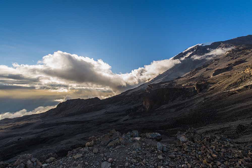
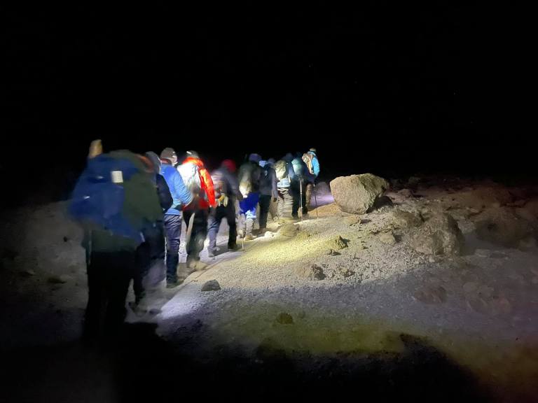
Very early in the morning (midnight to 2 am), we continue our way to the summit between the Rebmann and Ratzel glaciers. You head in a northwesterly direction and ascend through heavy scree towards Stella Point on the crater rim. This is the most mentally and physically challenging portion of the trek. At Stella Point you will stop for a short rest and will be rewarded with the most magnificent sunrise you are ever likely to see. Faster hikers may view the sunrise from the summit.
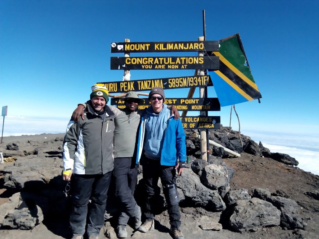
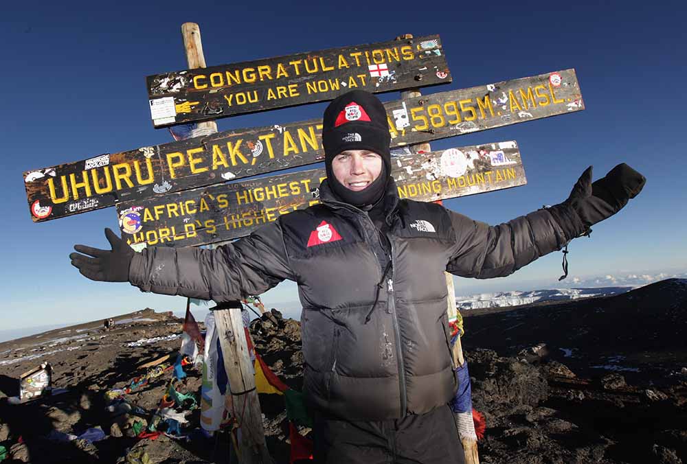
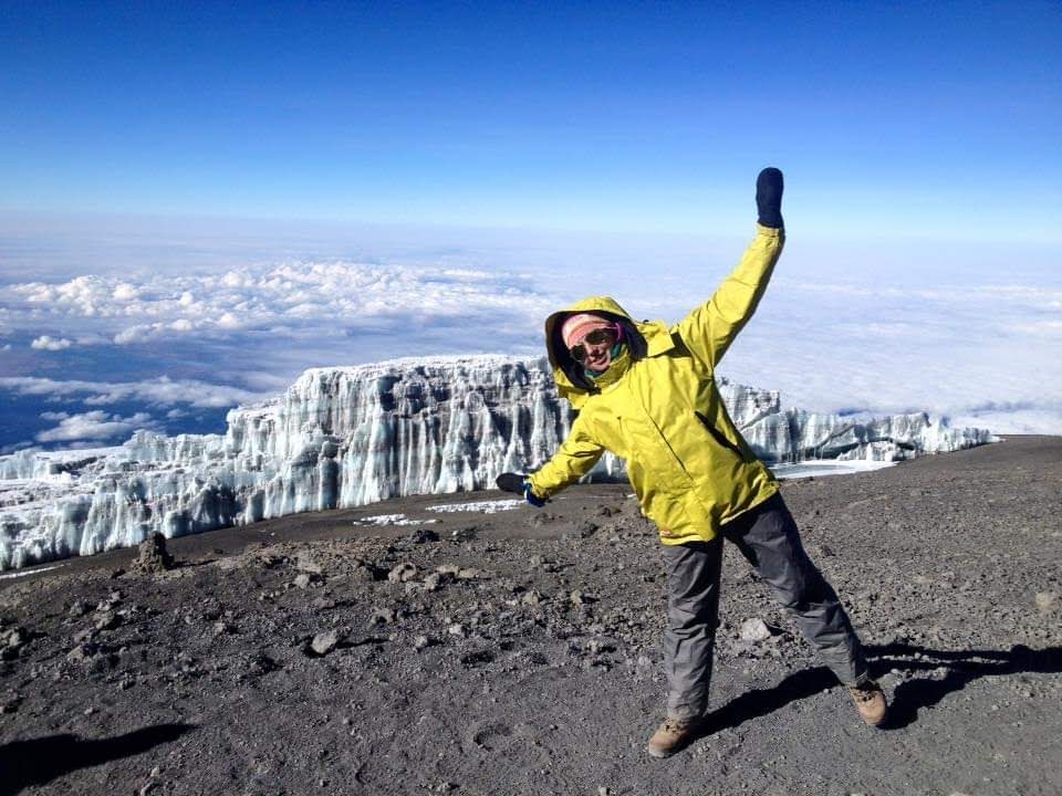
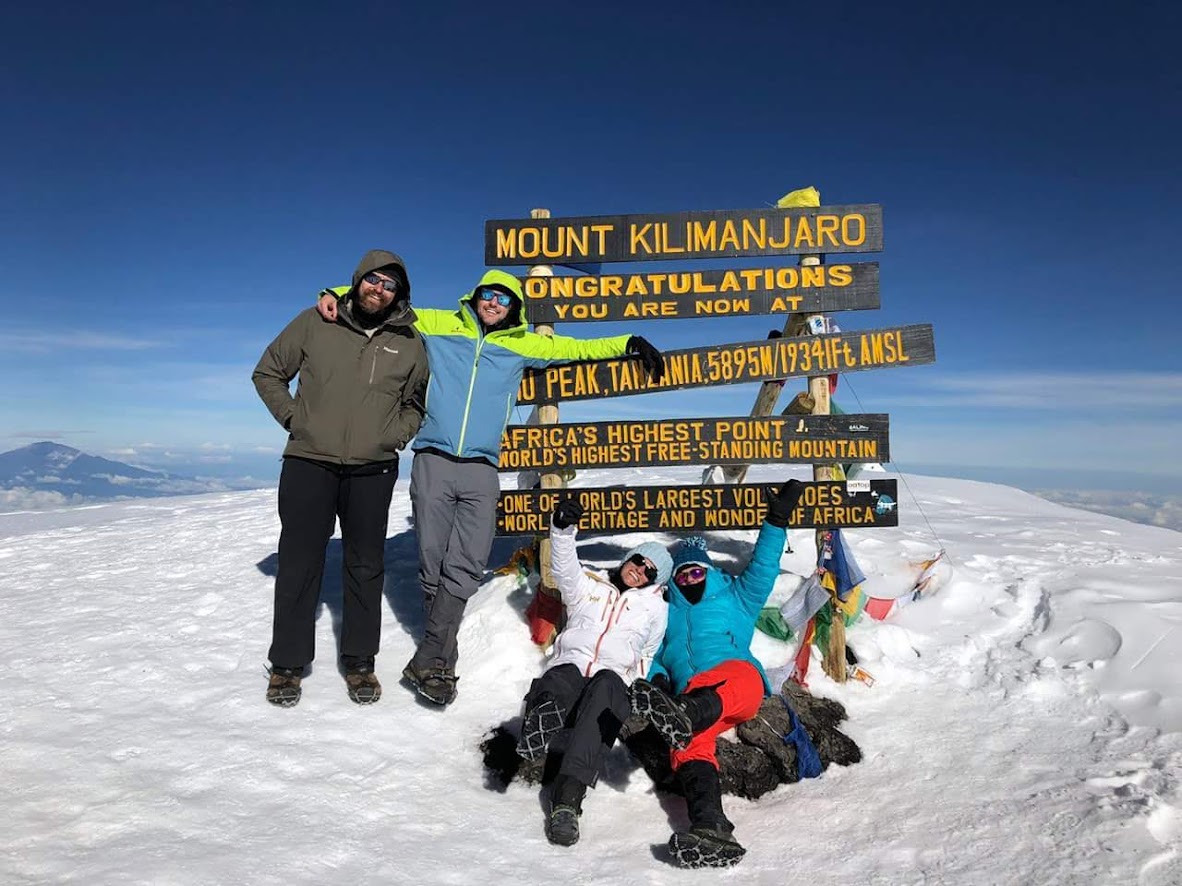
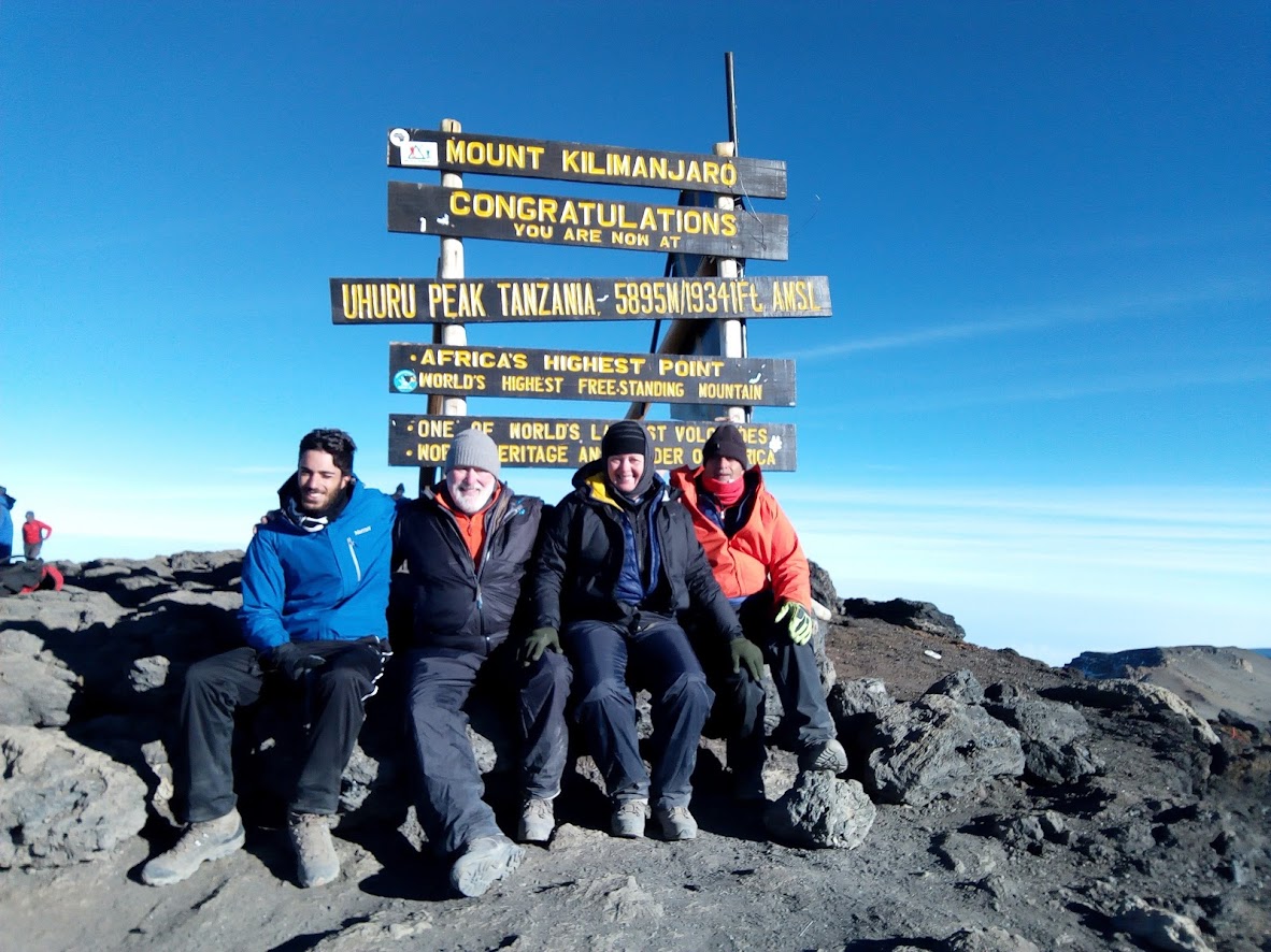
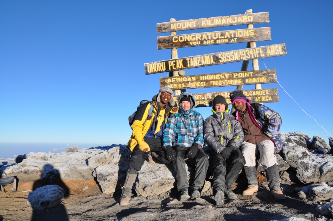
From Stella Point, you may encounter snow all the way on your 1-hour ascent to the summit. Once at Uhuru Peak you have reached the highest point on Mount Kilimanjaro and the continent of Africa!
From the summit we begin our descent by continuing straight down to the Mweka Camp, stopping at Barafu for lunch. You may want gaiters and trekking poles for the loose gravel going down. We arrive at Mweka Camp and enjoy our last evening on the mountain. An overnight at Mweka Camp.
Day 6: Hike Mweka Camp to Mweka Gate, drive to Moshi
- Elevation: 3090m/10,150ft to 1680m/5500ft
- Distance: 10km/6mi
- Hiking Time: 3-4 hours
- Habitat: Forest
After breakfast we continue the descent down to the Mweka Park Gate to receive your summit certificates. At lower elevations, it can be wet and muddy. Gaiters and trekking poles will help. Shorts and t-shirts will probably be plenty to wear (keep rain gear and warmer clothing handy).
From the gate, continue another hour to Mweka Village. A vehicle will meet you at Mweka village to drive you back to your hotel in Moshi (about 30 minutes). You now drive back to Moshi for a long over due hot shower, dinner and celebrations!! Overnight at your hotel in Moshi or Arusha.

Price for this Route From USD$1700
Kilimanjaro Trek Cost:
- 1 person USD$1800
- 2-4 people USD$1760
- 5-9 people USD$1700
- 10+ people USD$1650
What’s included:
- Kilimanjaro International Aport (JRO) Transfers, 2-Way
- All park entrance, hut and rescue fees
- All meals, boiled and filtered drinking water while on the mountain.
- Warm water for washing to be provided every morning and evening.
- Oxygen Cylinder – only for emergency
- English Speaking Guides (Wilderness First Responder certified), cook and porters
- Staff salaries and fees
- Transport to/from national park gates
- First aid kit and pulse oximeter
- Emergency telephone between the guides and our office in Moshi town
- 3 delicious meals daily on the mountain
- 3 litres of bottled drinking water to be provided on the first day your hike, on the mountain porters will fetch water from the streams to be boiled and filtered for you
- 2 nights lodging at Panama Inn in Moshi or Natron Palace Hotel in Arusha
- Breakfast included at Panama Inn in Moshi or Natron Palace Hotel in Arusha
What’s excluded:
- Prices do not include sleeping bags
- Gratuities
- Soda/alcohol unless otherwise noted
- Health insurance
- Visa fees
- International airfare
- Laundry
- Meals not noted on the itinerary
Kilimanjaro Rental Equipment
- Rucksack/Daypack $12
- Balacava US$ 6
- Sleeping bag (-12°C) US$ 20
- Sleeping bag (-25°C) US$ 40
- Ponchour – Heavy/Western/Europe US$ 18
- Ponchour – Light/Loca US$ 12
- Socks US$ 4
- Duffel Bag US$ 6
- Hiking Poles (2) US$ 10
- Gaiters US$ 8
- Gloves US$ 6
- Sweater US$ 5
- Long Underwear US$ 5
- Raincoat US$ 6
- Raincoat – G.T, Waterproof US$ 12
- Rain Pants US$ 12
- Torch / Flashlight US$ 5
- Camel Pack US$ 7 (rent 1 extra water bottle US$ 5)
- Sunglasses US$ 5
- Hiking Boots US$ 9
- Fleece Pants US$ 6
- Warm Jacket/Down Jacket US$ 12
- Hat or Neck Scarf US$ 6
The above list is a guide to what should be taken, little else need be taken – do not overpack. Warm head cover, thick fibre pile or down jacket, light waterproof top, trousers, light overtrousers, mittens, thermal underwear, sweater, warm socks and lightweight inner socks, watertight and well broken in sturdy boots, gaiters, sunglasses, walking poles, sleeping bag (three or four season, if three then a liner is recommended), sleeping pad, water bottle, high factor sun protection cream, small first aid kit, headtorch with extra batteries, toilet roll, small wash kit and a small daypack. A holdall or bigger rucksack to give to your porter with your main luggage. Optional: a hat with a brim.
Recommended Minimum Tipping Scale:
- Chief Guide: US$ 15-20 per day
- Assistant Guide: US$ 10-15 per day per assistant guide
- Cook: US$ 7-10 per day
- Porters: US$ 5-7 per day per porter
Tip amounts listed are per group, not per individual traveler. For instance, if 4 people are on Kilimanjaro, they should each contribute US$ 5/day if they want to tip the chief guide US$ 20.
At the ceremony your group might choose to say a few words, sing a song or something else short in order to celebrate the moment.
ENQUIRE ABOUT THIS ITINERARY